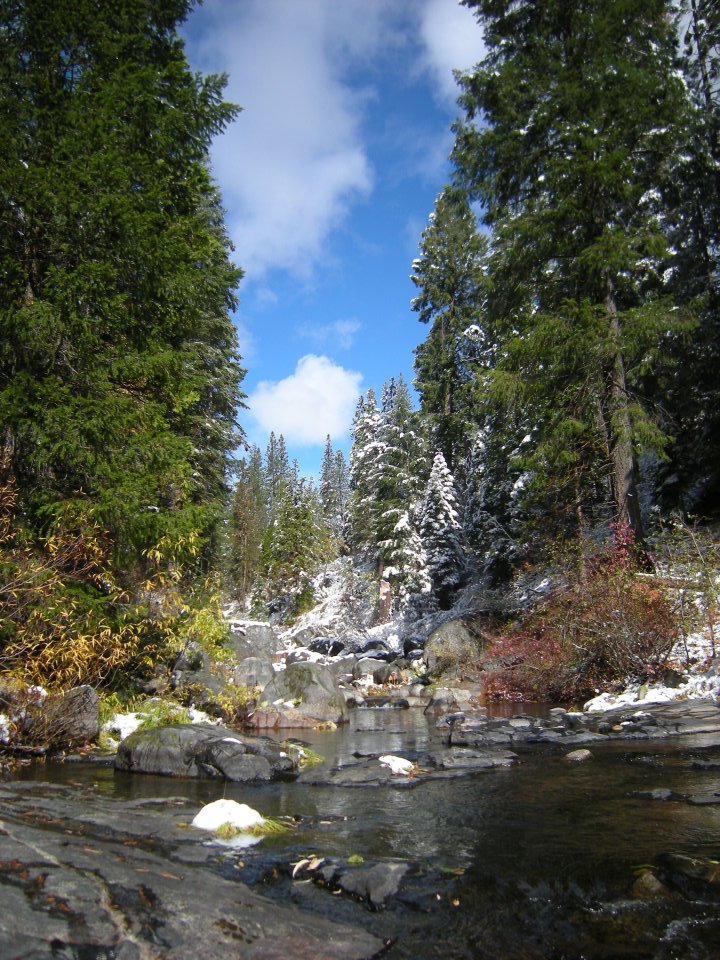
If you would like to visit some of our nearby wild places and experience the undeveloped beauty they have to offer, see the list below of recreational opportunities in our region and directions to some of the most popular destinations. Public lands belong to all citizens of the United States and were established for you to enjoy, experience, and most importantly, to protect for both the present and future generations.
(For additional ideas for places to visit and hikes you can take, be sure to check out our Scenic Destinations page!)
1. Bell Roadless Area
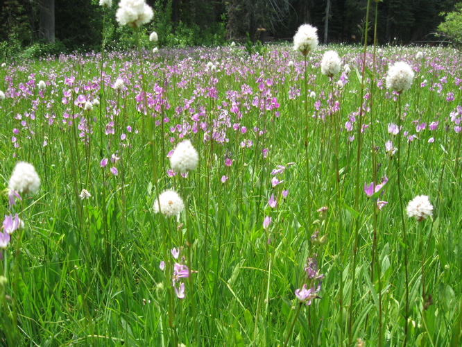
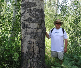
The Bell Roadless Area is one of the most accessible and scenic of the many roadless areas available in the Stanislaus National Forest. The Bell Roadless Area contains a series of meadows strung out from the main trailhead and extending east out along Bell Creek towards the current boundary of the Emigrant Wilderness. Within the Bell Roadless Area you can experience an extensive complex of aspen groves, a stream that winds through the meadows, steep granite cliffs dotted with large, old trees, and scattered belts of open conifer forests interlaced with mini-stringer meadows and rocky outcrops. It’s a great area for photography, and often for seeing wildlife.
Directions to Bell Roadless Area
Take Highway 108 east from Sonora past Long Barn, headed toward Pinecrest Lake. Just after Cold Springs, turn right onto 4N26 for roughly 3 miles until it intersects with 4N25 just before the Aspen Pack Station. Turn onto 4N25 for 1/4 mile. Then turn left onto the gravel road 4N02Y and follow it to its dead-end at a trailhead at the main Bell Meadow. The wilderness trail leads east from the parking area.
2. Eagle Roadless Area
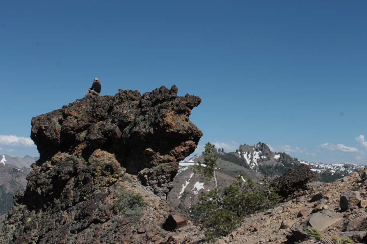
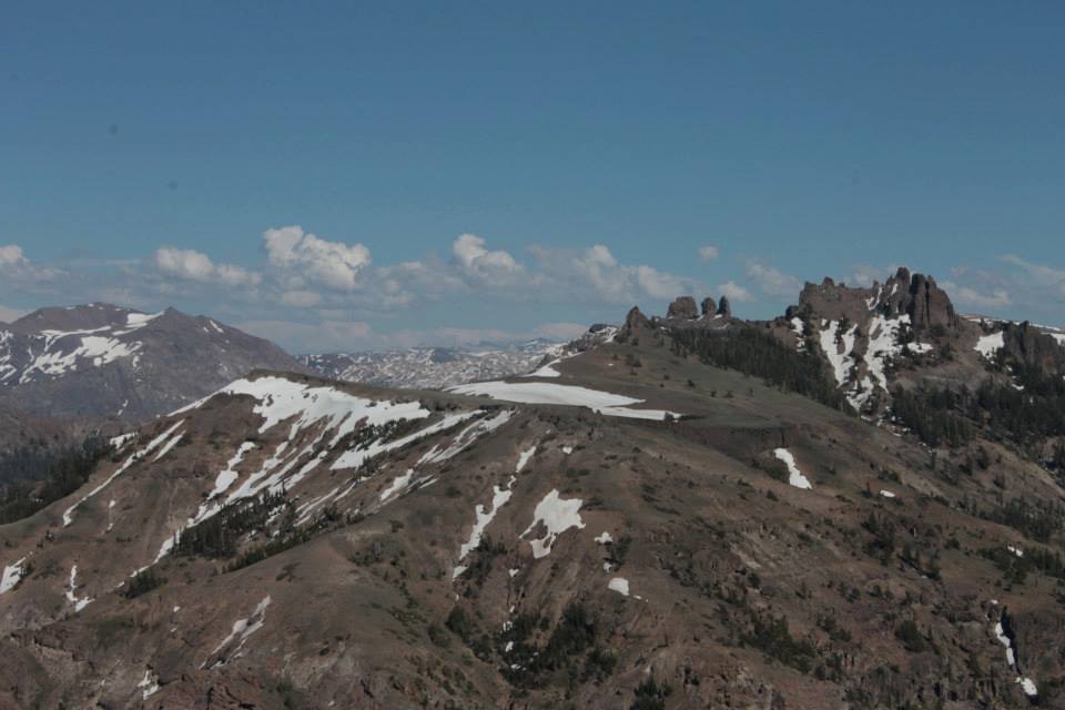
The Eagle Roadless Area borders the Emigrant Wilderness and provides access to the iconic Three Chimneys, Castle Rock and Eagle Peak, as well as many other interesting volcanic features. The lodgepole pine and mountain hemlock forests in this area provide prime habitat for American Marten.
Directions to the Eagle Roadless area
The main access is off Eagle Meadow Road (5N01). From Sonora, head East on Highway 108 for approximately 43 miles. Eagle Meadow road will be on your right approximately 13 miles past the town of Strawberry. Bring a forest map to navigate Eagle Meadow road as there are many forks. You can stop at the Summit Ranger Station in Pinecrest for information on road conditions, to get a map, and more.
3. Tuolumne River Roadless Area
A large portion of the Tuolumne River is designated as Wild and Scenic, which means that certain uses that may degrade the wild and scenic character of the river are prohibited. This lower elevation roadless area has steep canyons and land covered in oak trees and spring wildflowers.
Directions to Tuolumne River
From the Central Valley, head East on Highway 120 towards Groveland. A few trailheads off Ferreti Road require steep hikes into and out of the river canyon. For those wanting to drive all the way to the river, both the Lumsden Road and Cherry Lake Road lead to the river’s edge and access trails that parallel the river.
Check out this map to plan your visit.
